Washington Hiking...First Impressions (D-98: 2148 - 2168.3, D-99: 2168.3 - 2201.6, D-100: 2201.6 - 2229.9 - Nero @ Trout Lake, D-101: 2229.9 - 2254.7 - Nero @ Trout Lake, D-102: 2254.7 - 2282.1)

Having hiked 130+ miles in Washington over the last 5 days, I would say that the WA mosquitoes hands-down beat the OR mosquitoes in aggressiveness, quantity and persistence, as well as non-detterence by mosquito repellent. Of course, they have more ideal living conditions here - the trail is mostly in thick forests with tall trees that block the Sun with very few exposed/open areas and lots of ponds. And they bring along their buggy friends like bees, wasps, flies, horseflies etc., All intent on making the hiker's life challenging. There was one area called Indian Heaven Wilderness which has been renamed as Mosquito Heaven Wilderness by hikers. Most hikers I have come across wear a bug net and everybody is rushing as fast as they can. Stopping means becoming instant meal. And once you are in the tent, you stay in the tent. Everyone eats dinner inside the tent. The bugs patrol all around the tent so that you don't escape. I guess by now you know what I think of hiking in WA, especially during the snow melt season 😀.
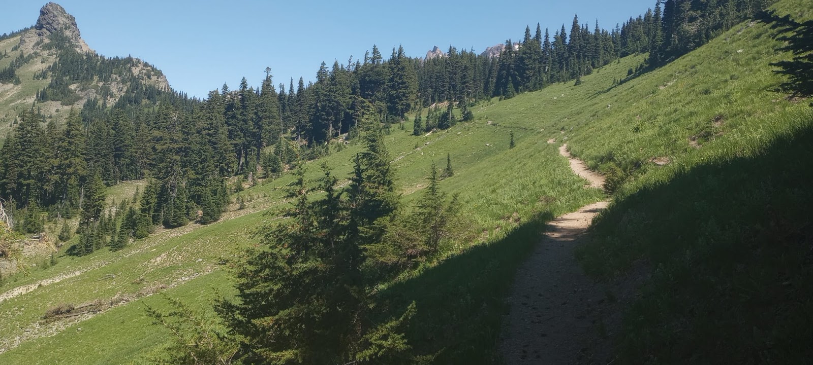
Here is a typical photo of the trail - in dense forest:

But, before entering Washington was the crossing of Bridge of the Gods. I know I did mention it in the earlier post, but this time it was for real and here are a couple of pics and a video of crossing the bridge which has no pedestrian walkway and hope that vehicles notice you in time (which, to be fair, pretty much all of them do).


One thing to be said about WA is that whenever you come out of the forest into an open area, you see a pretty snow-covered mountain in the distance.


On the way to and from Trout Lake, the first resupply stop, one can see Mt Adams from the road.

We had to hike all the way up to the mountain as the goes to the left of the mountain and around it.


It was spectacular and impressive seeing the snow-covered mountain up close. That was yesterday.
The day-before was a Nero in Trout Lake. We needed to go in to buy food supplies for the next couple of days. Trout Lake is a very small town, but very hiker-friendly and extremely well-organized for welcoming hikers. They even have a free shuttle 3 times a day from the trailhead to town and back, run by volunteers. We were at the trailhead at 3 pm, well-before the last shuttle at 4:30 pm and got a super-quick hitch in the back of this pickup truck.


Hikers could camp in the lawn next to the general store for $5 (with WiFi, charging, towels/soap for shower & laundry - all incl). There was a nearby County Park where one could shower - $2 for 5 mins. Btw, I hadn't known of coin-operated time-limited showers till I came on this hike. Guess this is a West Coast phenomenon, perhaps as a water saving measure. Never saw it in MN parks.

Got back on the trail yesterday morning around 8:30 am, thanks to Dennis who dropped a bunch of us at the trailhead.

Today the trail entered Goat Rocks Wilderness (video link) and I saw the other side of Washington hiking. It was amazingly beautiful! In fact, today was the among the prettiest scenery, if not, the prettiest, in all of PCT. Green mountain meadows, white snowfields, flowers all interspersed by snow melt waterfalls! Even Seirras can't compete with this. (video from the highest point in WA)


Though there had been reports of lots of snow on the trail here, it appeared that a lot had melted over the past few days and this was good for us. The days have been and are very hot indeed. Summer is here in full force! Hoping more and more snow melts in the coming days, further up the trail in Washington and makes our life easier 😊.
Data:
D-98:

D-99:

D-100:

D-101:

D-102:

Comments